Click HERE to return to all rocks.
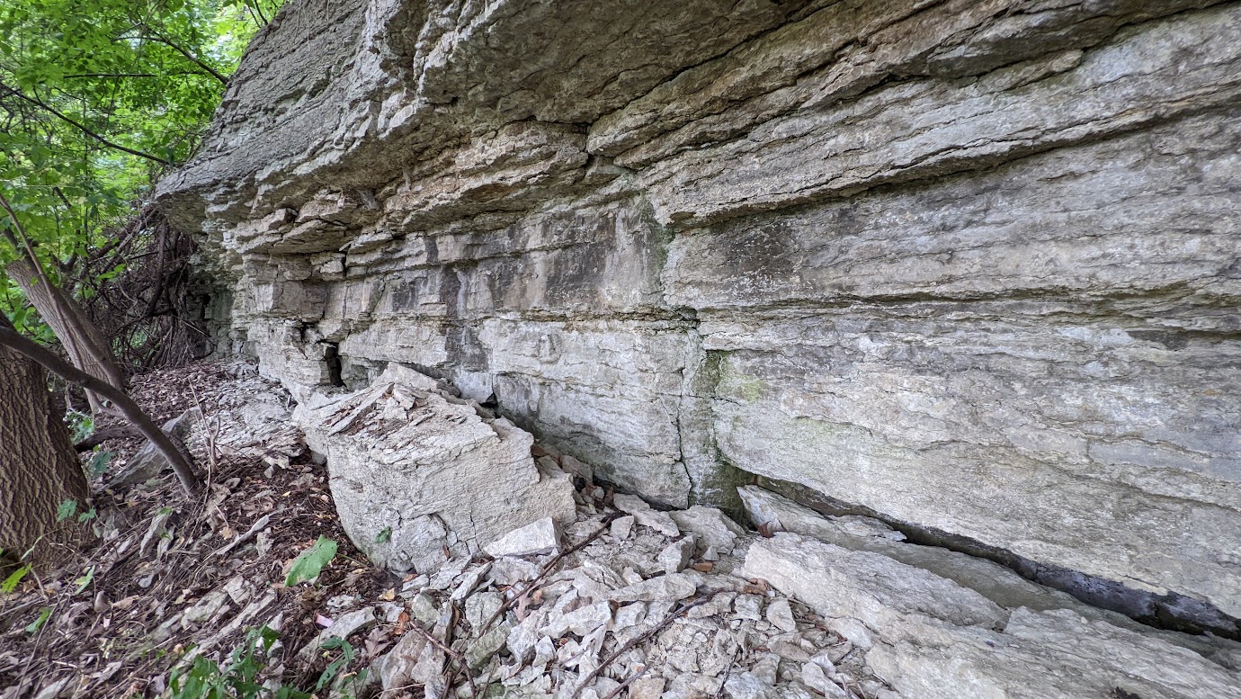
Photo of the Platteville Limestone near the University of Minnesota campus. Image is original. September 2022.
The Platteville Formation is a limestone unit that was deposited in the Ordovician Period (485-444 million years ago), at the bottom of a rising sea (called ocean transgression). It was deposited on a marine shelf, further out than the Glenwood Shale or St. Peter Sandstone, which were deposited closer to the shore.
The maximum total thickness of the formation is estimated to be 30-35 feet. It is estimated to cover approximately 210 of the 3,000 square miles that make up the Twin Cities metro area.
In the Twin Cities, the Platteville is divided into several members (from upper to lower): the Carimona, Magnolia, Hidden Falls, Mifflin, and Pecatonica.
The Platteville has been quarried for building materials. The various members are fractured and jointed, which facilitates the transport and storage of groundwater. It is sometimes used as an aquifer, and can hold perched aquifers above the Glenwood Shale when the water table in the St. Peter Sandstone is drawn down.
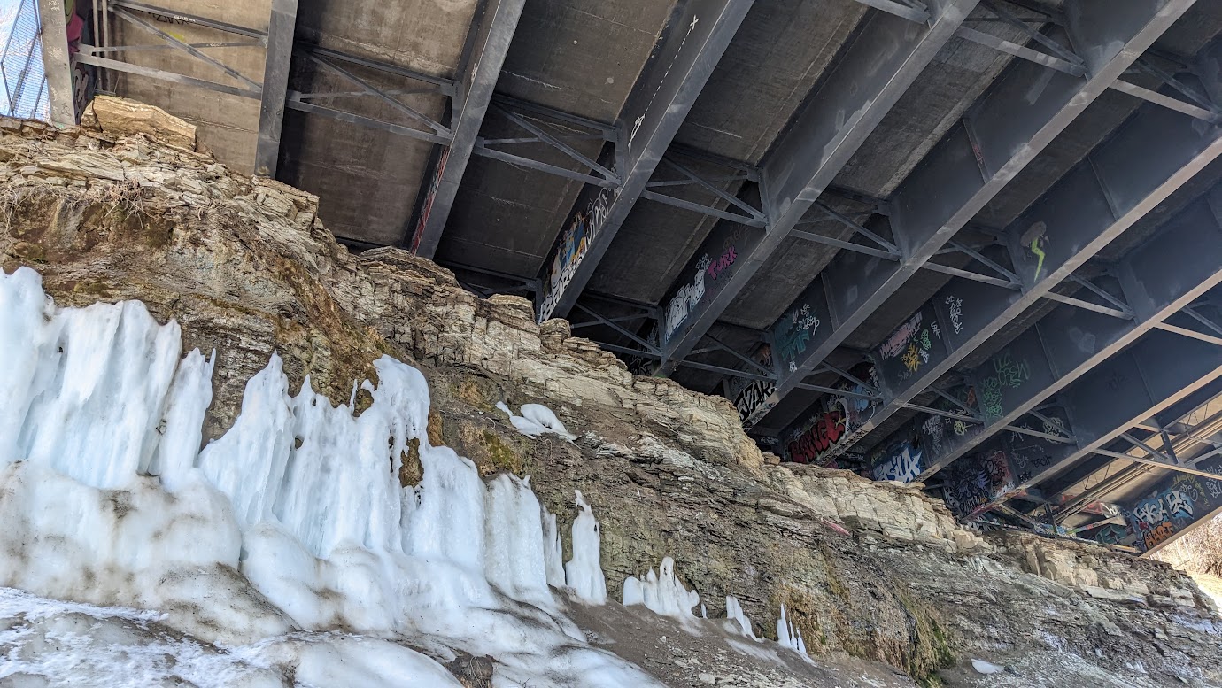
Photo of groundwater seeping out of fractures in the Platteville Limestone under I-94 near the University of Minnesota campus. Image is original. April 2023.
Mossler, John H.. (1985). RI-33 Sedimentology of the Middle Ordovician Platteville Formation Southeastern Minnesota. Retrieved from the University Digital Conservancy, https://hdl.handle.net/11299/60754🗗
https://equatorialminnesota.blogspot.com/2016/01/the-decorah-shale.html🗗
https://www.pca.state.mn.us/sites/default/files/mm-overview.pdf 🗗